


$14.95
Couldn't load pickup availability
Ships from Provo, UT
·
Help preserve wild spaces — earn a $1.49 Conservation Dividend with this purchase. Learn more →
Trade-in callout goes here
View full details
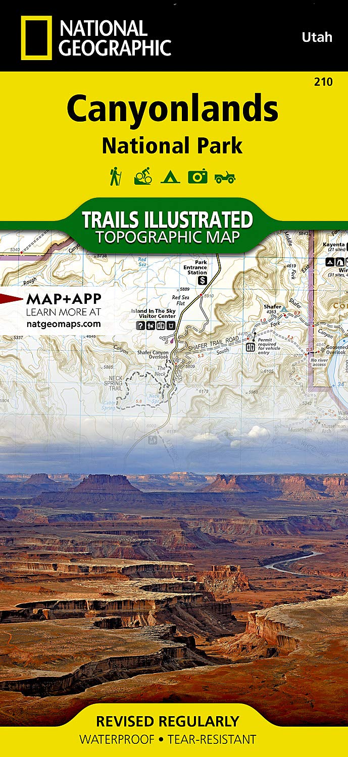
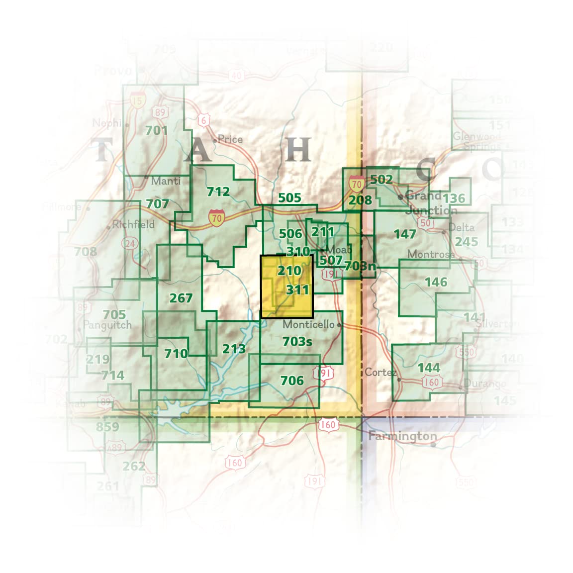
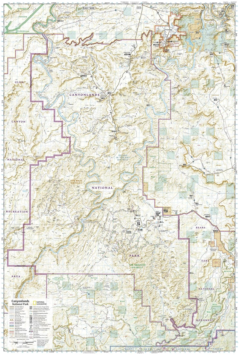
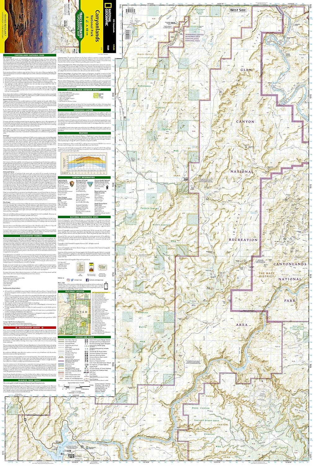
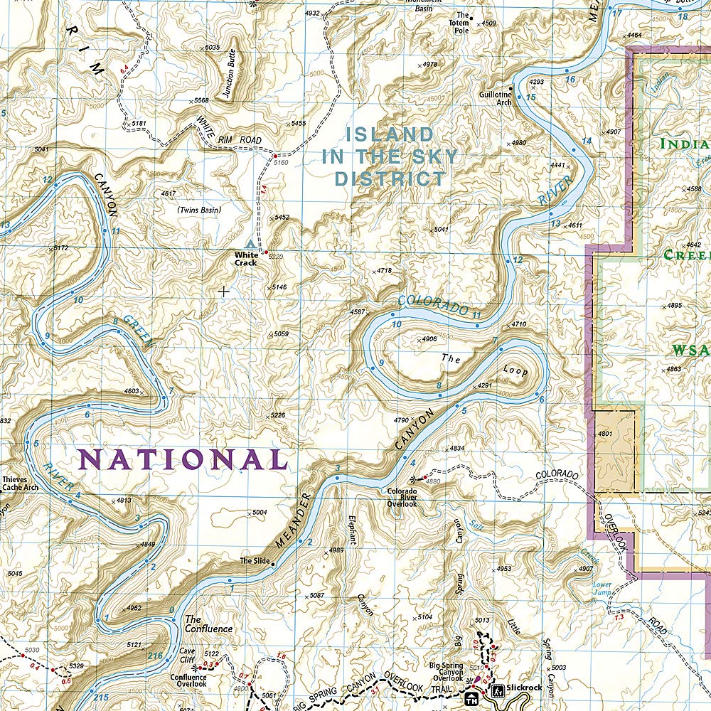
National Geographic's Trails Illustrated map of Canyonlands National Park combines valuable information with unmatched detail of this mesmerizing landscape of river canyons and fantastically formed buttes. Created in partnership with local land management agencies, it covers all three districts — Island in the Sky, the Needles, and the Maze — along with Canyon Rims Recreation Area, Glen Canyon National Recreation Area, and Horseshoe Canyon. Includes information on the park's archaeology, backcountry safety, and park regulations.
Features
- Printed on "Backcountry Tough" waterproof, tear-resistant paper
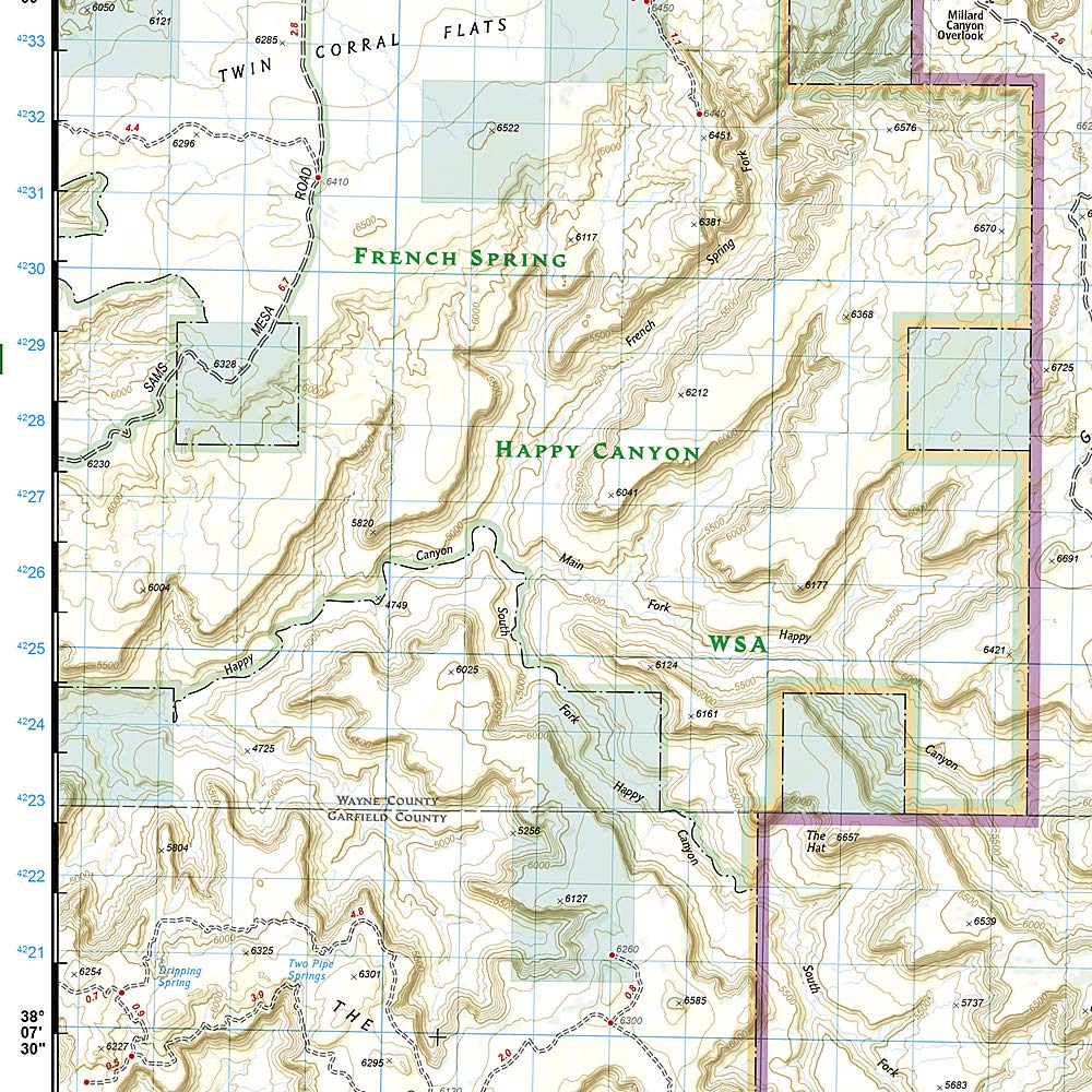
- Topographic base with contour lines and elevations for summits and passes
- Clearly marked trails with mileage between intersections
- Colorado and Green River mileage noted for those exploring by boat
- Full UTM grid for GPS navigation
- Visitor centers, campgrounds, scenic overlooks, and boat launch sites marked
Tech Specs
| Map Number | Trails Illustrated #210 |
| Scale | 1:75,000 |
| Folded Size | 4.25 x 9.25 in |
| Open Size | 25.5 x 37.75 in |
| Material | Waterproof, tear-resistant (Backcountry Tough) |
| Edition | 2023 |
| Publisher | National Geographic Maps |
19 nonprofit partners
Gear up.
Give back.
Give back.
Pando partners with 19 nonprofits to protect the wild spaces you love.
See how your purchase makes an impact →

$20.00

SS - Product Addons
Select product(s) to see addons appear.
This message only appears in theme editor.