


Help preserve wild spaces — earn a $1.49 Conservation Dividend with this purchase. Learn more →
Couldn't load pickup availability
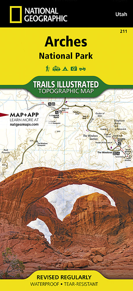
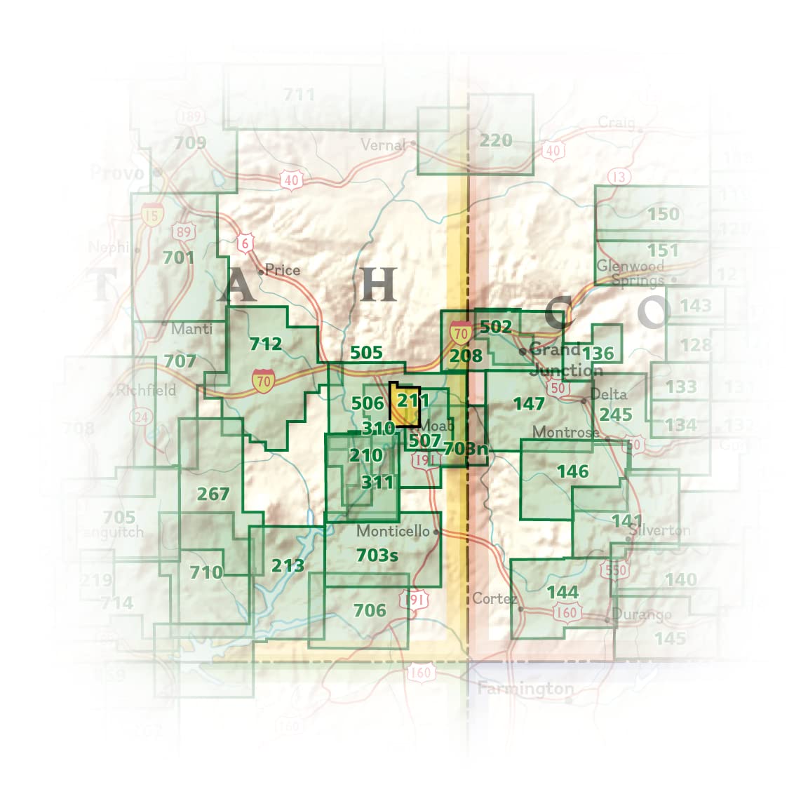
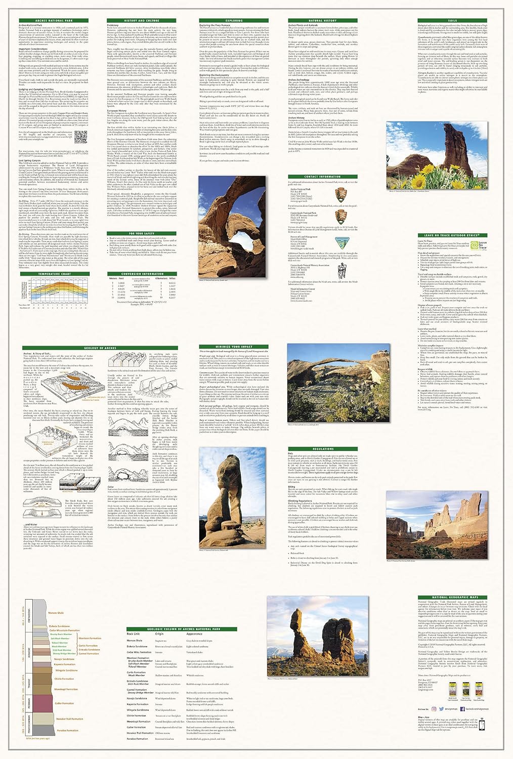
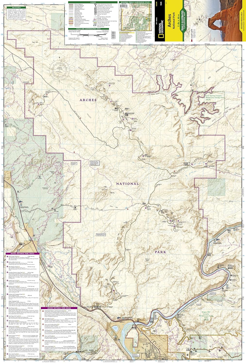
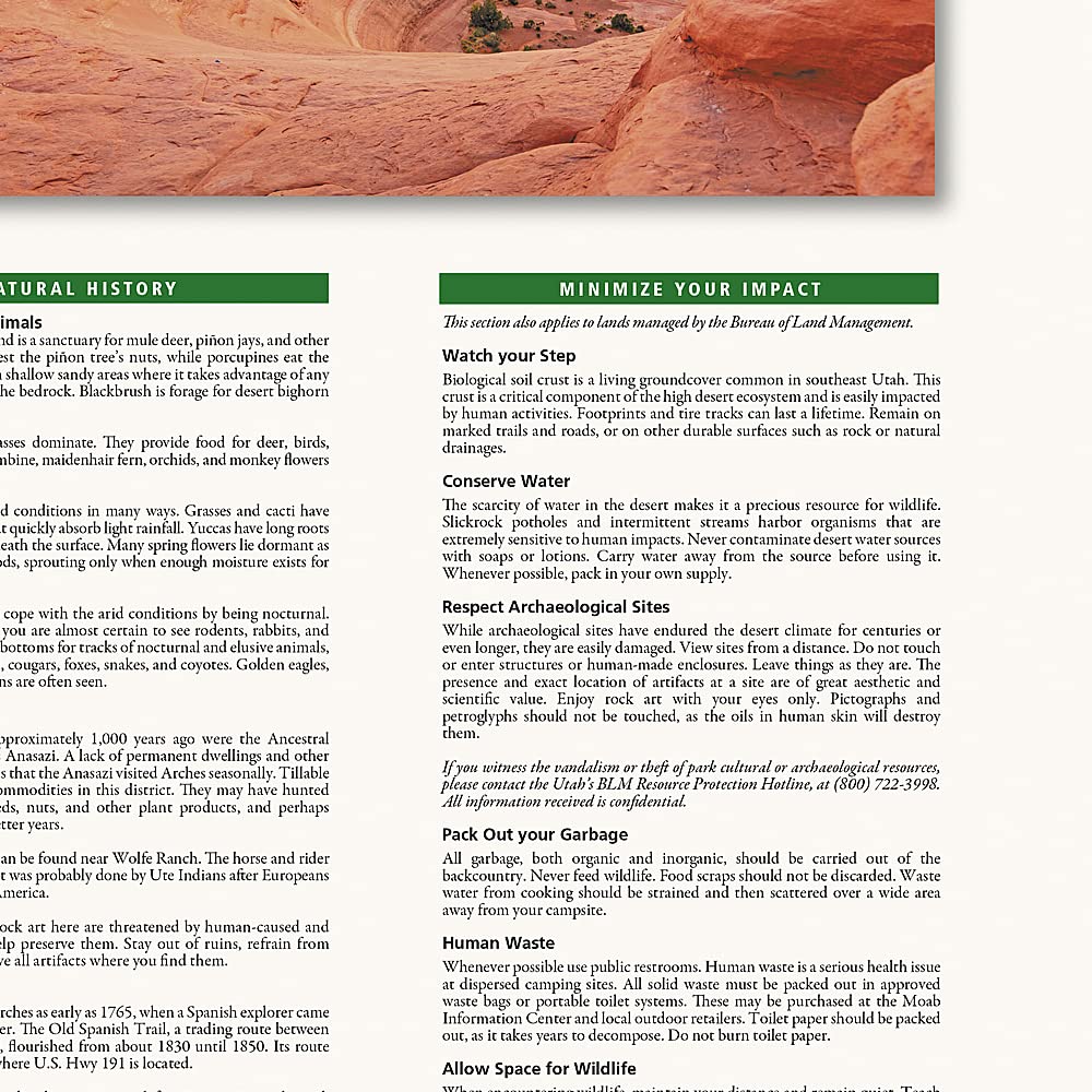
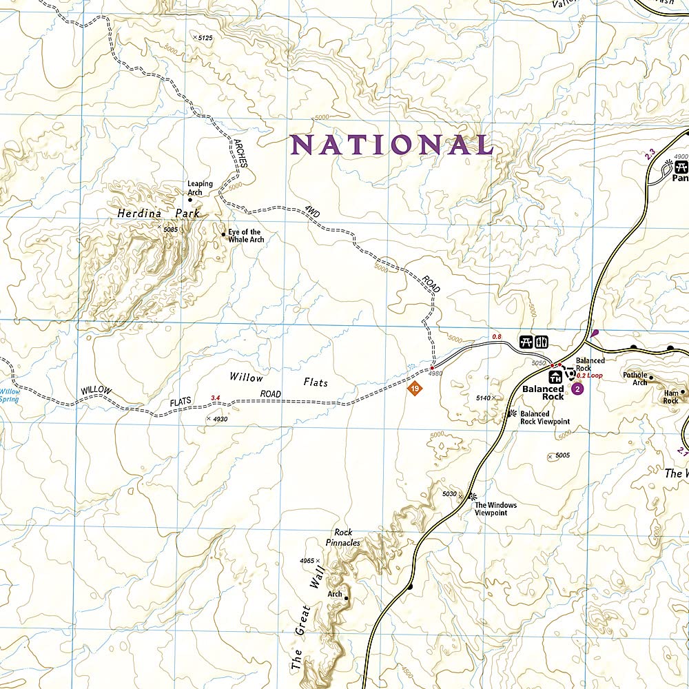
With over 2,000 natural stone arches and hundreds of extraordinary geological formations, Arches National Park is a red rock wonderland. National Geographic's Trails Illustrated map combines unmatched detail with practical trail information, created in partnership with local land management agencies. Covers key areas including Devils Garden, the Windows Section, Delicate Arch, Sand Flats Recreation Area, Wolfe Ranch, and the Colorado River. Includes fascinating information about the park's geology, archaeology, history, and culture — plus contact information, regulations, and Leave No Trace guidelines.
Features
- Printed on "Backcountry Tough" waterproof, tear-resistant paper
- Topographic base with contour lines and summit elevations
- Clearly marked trails with mileage between intersections
- Trail and road summaries with starting point, duration, and difficulty
- Colorado River mileage noted for those exploring by boat
- Full UTM grid for GPS navigation
- Campgrounds, trailheads, picnic areas, river access, and points of interest marked
- Updated to reflect road closings, new trails, and campground relocations
Tech Specs
| Map Number | Trails Illustrated #211 |
| Scale | 1:35,000 |
| Folded Size | 4.25 x 9.25 in |
| Open Size | 25.5 x 37.75 in |
| Material | Waterproof, tear-resistant (Backcountry Tough) |
| Publisher | National Geographic Maps |
Give back.
$20.00

SS - Product Addons
Select product(s) to see addons appear.
This message only appears in theme editor.

